
Torød topographic map
Interactive map
Click on the map to display elevation.
About this map
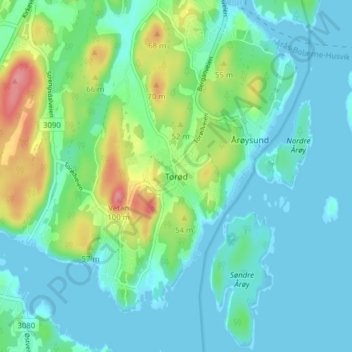
Name: Torød topographic map, elevation, terrain.
Location: Torød, Færder, Vestfold og Telemark, 3135, Norway (59.15900 10.42112 59.19900 10.46112)
Average elevation: 69 ft
Minimum elevation: -3 ft
Maximum elevation: 289 ft