
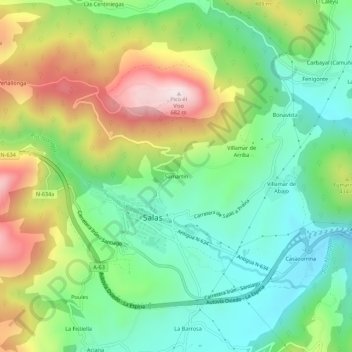
Samartín topographic map
Interactive map
Click on the map to display elevation.
About this map
Name: Samartín topographic map, elevation, terrain.
Location: Samartín, Salas, Asturië, 33860, Spanje (43.39288 -6.27316 43.43288 -6.23316)
Average elevation: 1,115 ft
Minimum elevation: 459 ft
Maximum elevation: 2,234 ft