
Ratapani topographic map
Interactive map
Click on the map to display elevation.
About this map
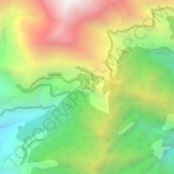
Name: Ratapani topographic map, elevation, terrain.
Location: Ratapani, Munsiari, India (30.01662 80.17333 30.05662 80.21333)
Average elevation: 8,166 ft
Minimum elevation: 5,374 ft
Maximum elevation: 11,791 ft