
Chácara das Paineiras topographic map
Interactive map
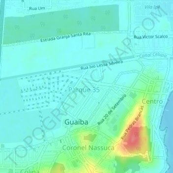
Click on the map to display elevation.
About this map
Name: Chácara das Paineiras topographic map, elevation, terrain.
Average elevation: 43 ft
Minimum elevation: 0 ft
Maximum elevation: 233 ft
Other topographic maps
Click on a map to view its topography, its elevation and its terrain.
Lago das Aves
Brasil > Rio Grande do Sul > Guaíba
Lago das Aves, Rua São Paulo, Parque 35, Guaíba, Região Geográfica Imediata de Porto Alegre, Região Metropolitana de Porto Alegre, Região Geográfica Intermediária de Porto Alegre, Rio Grande do Sul, Região Sul, 92500-000, Brasil
Average elevation: 66 ft