
Parque Nacional Pre-Delta topographic map
Interactive map
Click on the map to display elevation.
About this map
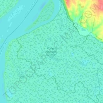
Name: Parque Nacional Pre-Delta topographic map, elevation, terrain.
Average elevation: 46 ft
Minimum elevation: 7 ft
Maximum elevation: 249 ft
Other topographic maps
Click on a map to view its topography, its elevation and its terrain.
Diamante
Argentina > Entre Ríos > Diamante
Diamante, Distrito Costa Grande, Departamento Diamante, Entre Ríos, 3105, Argentina
Average elevation: 105 ft