
Ránquil topographic map
Interactive map
Click on the map to display elevation.
About this map
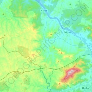
Name: Ránquil topographic map, elevation, terrain.
Location: Ránquil, Provincia de Itata, Región de Ñuble, Chile (-36.73375 -72.73531 -36.54582 -72.44885)
Average elevation: 564 ft
Minimum elevation: 33 ft
Maximum elevation: 2,530 ft