
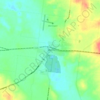
Nhill topographic map
Interactive map
Click on the map to display elevation.
About this map
Name: Nhill topographic map, elevation, terrain.
Location: Nhill, Shire of Hindmarsh, Victoria, Australia (-36.37313 141.60929 -36.29313 141.68929)
Average elevation: 459 ft
Minimum elevation: 394 ft
Maximum elevation: 594 ft