
Baird topographic map
Interactive map
Click on the map to display elevation.
About this map
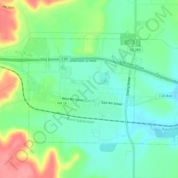
Name: Baird topographic map, elevation, terrain.
Location: Baird, Callahan County, Texas, 79504, United States (32.38510 -99.41352 32.40895 -99.36824)
Average elevation: 1,752 ft
Minimum elevation: 1,657 ft
Maximum elevation: 1,962 ft