
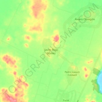
Javier Rojo Gómez topographic map
Interactive map
Click on the map to display elevation.
About this map
Name: Javier Rojo Gómez topographic map, elevation, terrain.
Location: Javier Rojo Gómez, Othón P. Blanco, Quintana Roo, México (18.23153 -88.72086 18.31153 -88.64086)
Average elevation: 135 ft
Minimum elevation: 7 ft
Maximum elevation: 295 ft