
Augustenburg topographic map
Interactive map
Click on the map to display elevation.
About this map
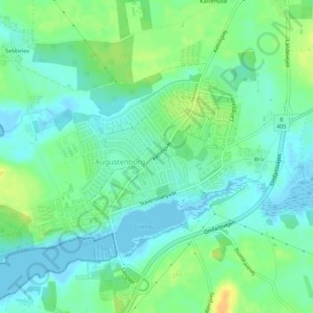
Name: Augustenburg topographic map, elevation, terrain.
Location: Augustenburg, Kommune Sonderburg, Dänemark (54.94417 9.85967 54.95803 9.89255)
Average elevation: 33 ft
Minimum elevation: -7 ft
Maximum elevation: 95 ft