Geolocate

Gosnell topographic map

Click on the map to display elevation.

About this map

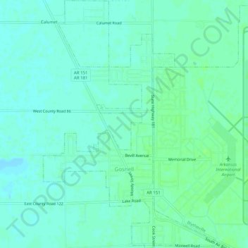
Name: Gosnell topographic map, elevation, terrain.

Location: Gosnell, Mississippi County, Arkansas, United States (35.94462 -89.98743 35.98523 -89.94983)

Average elevation: 246 ft

Minimum elevation: 233 ft

Maximum elevation: 262 ft

Mississippi County trails, hiking, mountain biking, running and outdoor activities

Other topographic maps

Click on a map to view its topography, its elevation and its terrain.

Gear up for your next adventure:

🔥Fast-Boil Camping Stoves - Efficient cooking systems for quick trail meals
🥤Water Filter Bottle - All‑in‑one filter bottle for safe hydration
🪶Paracord Bracelet - Survival bracelet with built‑in tools
🎒Gear Packing Cubes - Organize your backpack efficiently
🧢Sun Protection Hats - Wide-brimmed and UPF-rated hats for high-altitude sun safety

As an Amazon Associate, this site earns from qualifying purchases at no extra cost to you.