
Straumen topographic map
Interactive map
Click on the map to display elevation.
About this map
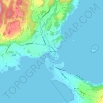
Name: Straumen topographic map, elevation, terrain.
Location: Straumen, Inderøy, Tröndelag, 7670, Norwegen (63.85159 11.27642 63.89159 11.31642)
Average elevation: 92 ft
Minimum elevation: 0 ft
Maximum elevation: 653 ft