
Petit lac François topographic map
Interactive map
Click on the map to display elevation.
About this map
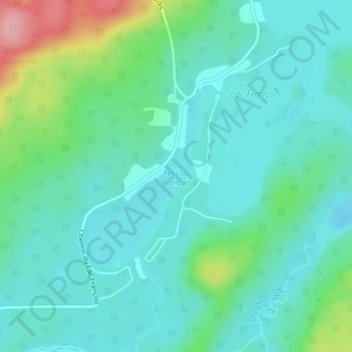
Name: Petit lac François topographic map, elevation, terrain.
Average elevation: 886 ft
Minimum elevation: 784 ft
Maximum elevation: 1,230 ft
Other topographic maps
Click on a map to view its topography, its elevation and its terrain.
Lac Longeau
Canada > Québec > Antoine-Labelle > Kiamika
Lac Longeau, Kiamika, Antoine-Labelle, Laurentides, Québec, Canada
Average elevation: 1,020 ft
Lac Saintare
Canada > Québec > Antoine-Labelle > Kiamika
Lac Saintare, Kiamika, Antoine-Labelle, Laurentides, Québec, Canada
Average elevation: 1,083 ft
Lac Duffy
Canada > Québec > Antoine-Labelle > Kiamika
Lac Duffy, Kiamika, Antoine-Labelle, Laurentides, Québec, Canada
Average elevation: 1,063 ft