
Loch Cameron topographic map
Interactive map
Click on the map to display elevation.
About this map
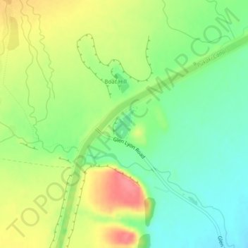
Name: Loch Cameron topographic map, elevation, terrain.
Average elevation: 1,696 ft
Minimum elevation: 1,588 ft
Maximum elevation: 1,841 ft
Other topographic maps
Click on a map to view its topography, its elevation and its terrain.
Lake Poaka
New Zealand > Canterbury > Twizel
Lake Poaka, Lake Poaka Access Road, Twizel, Mackenzie District, Canterbury, 5744, New Zealand
Average elevation: 1,677 ft