
Salzgitter topographic map
Interactive map
Click on the map to display elevation.
About this map
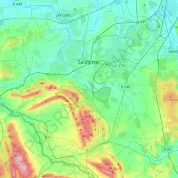
Name: Salzgitter topographic map, elevation, terrain.
Location: Salzgitter, Basse-Saxe, Allemagne (52.01303 10.23086 52.22279 10.50773)
Average elevation: 407 ft
Minimum elevation: 230 ft
Maximum elevation: 974 ft