
Vännäs kommun topographic map
Interactive map
Click on the map to display elevation.
About this map
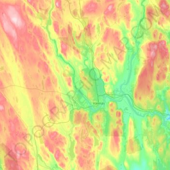
Name: Vännäs kommun topographic map, elevation, terrain.
Location: Vännäs kommun, Provinz Westbottnien, Schweden (63.78846 19.41814 64.08554 19.98266)
Average elevation: 551 ft
Minimum elevation: 200 ft
Maximum elevation: 1,070 ft