
Tai O topographic map
Interactive map
Click on the map to display elevation.
About this map
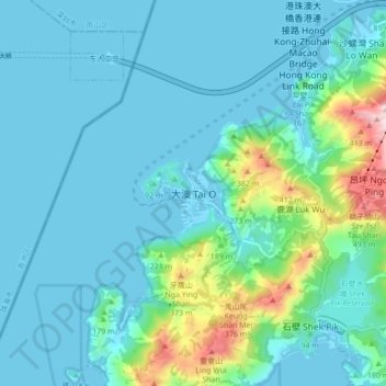
Name: Tai O topographic map, elevation, terrain.
Location: Tai O, Islands District, Hong Kong, PRC (22.21415 113.82362 22.29415 113.90362)
Average elevation: 282 ft
Minimum elevation: -16 ft
Maximum elevation: 1,850 ft