
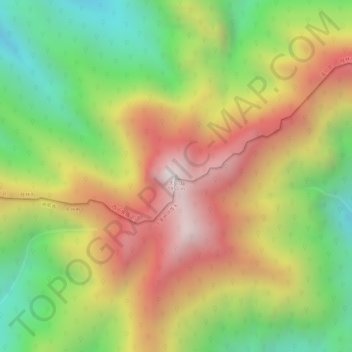
天门山 topographic map
Interactive map
Click on the map to display elevation.
About this map
Name: 天门山 topographic map, elevation, terrain.
Location: 天门山, Guilin, Guangxi, China (25.36992 111.20830 25.37002 111.20840)
Average elevation: 4,521 ft
Minimum elevation: 3,061 ft
Maximum elevation: 5,925 ft
Other topographic maps
Click on a map to view its topography, its elevation and its terrain.