
Poza Azul topographic map
Interactive map
Click on the map to display elevation.
About this map
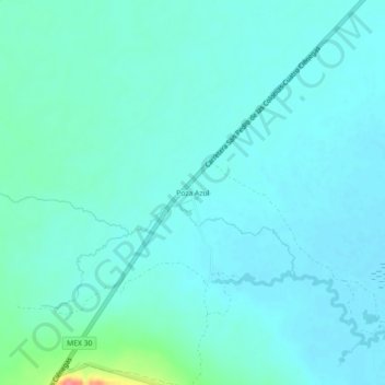
Name: Poza Azul topographic map, elevation, terrain.
Location: Poza Azul, Cuatro Ciénegas, Coahuila, México (26.91186 -102.14490 26.95186 -102.10490)
Average elevation: 2,408 ft
Minimum elevation: 2,372 ft
Maximum elevation: 2,615 ft