
Rengee topographic map
Interactive map
Click on the map to display elevation.
About this map
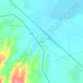
Name: Rengee topographic map, elevation, terrain.
Location: Rengee, Bāramūla, Baramula, Jammu and Kashmir, India (34.20036 74.48748 34.24036 74.52748)
Average elevation: 5,223 ft
Minimum elevation: 5,167 ft
Maximum elevation: 5,469 ft