
Floresta topographic map
Interactive map
Click on the map to display elevation.
About this map
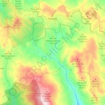
Name: Floresta topographic map, elevation, terrain.
Location: Floresta, ME, Sicily, Italy (37.93517 14.87062 37.99564 14.95740)
Average elevation: 4,117 ft
Minimum elevation: 3,169 ft
Maximum elevation: 5,262 ft