
Laghetto Dell Alpe topographic map
Interactive map
Click on the map to display elevation.
About this map
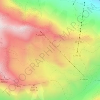
Name: Laghetto Dell Alpe topographic map, elevation, terrain.
Average elevation: 8,704 ft
Minimum elevation: 7,011 ft
Maximum elevation: 10,039 ft