
Camino de Santiago topographic map
Interactive map
Click on the map to display elevation.
About this map
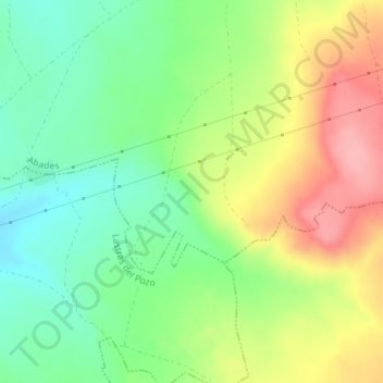
Name: Camino de Santiago topographic map, elevation, terrain.
Location: Camino de Santiago, Abades, Segovia, Castile and León, Spain (40.88241 -4.28593 40.90241 -4.26593)
Average elevation: 3,255 ft
Minimum elevation: 3,087 ft
Maximum elevation: 3,478 ft