
Le Désert en Valjouffrey topographic map
Interactive map
Click on the map to display elevation.
About this map
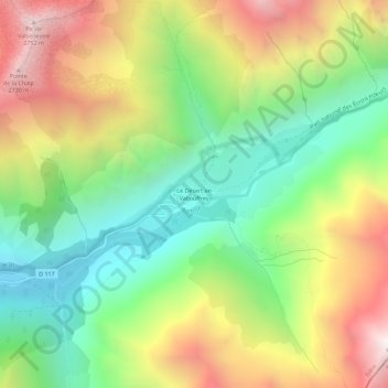
Name: Le Désert en Valjouffrey topographic map, elevation, terrain.
Average elevation: 5,955 ft
Minimum elevation: 3,566 ft
Maximum elevation: 9,239 ft