
Rushworth topographic map
Interactive map
Click on the map to display elevation.
About this map
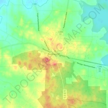
Name: Rushworth topographic map, elevation, terrain.
Location: Rushworth, Shire of Campaspe, Victoria, 3612, Australia (-36.62601 144.97557 -36.54601 145.05557)
Average elevation: 463 ft
Minimum elevation: 358 ft
Maximum elevation: 636 ft