
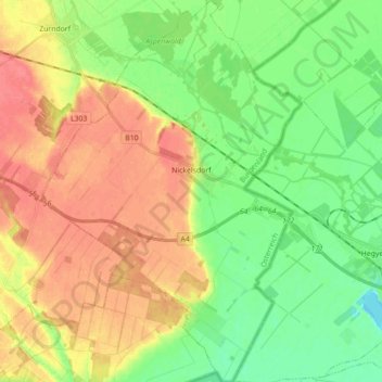
Nickelsdorf topographic map
Interactive map
Click on the map to display elevation.
About this map
Name: Nickelsdorf topographic map, elevation, terrain.
Location: Nickelsdorf, Bezirk Neusiedl am See, Burgenland, 2425, Austria (47.87444 16.99618 47.99284 17.11702)
Average elevation: 456 ft
Minimum elevation: 374 ft
Maximum elevation: 541 ft