
Mittel-Gründau topographic map
Interactive map
Click on the map to display elevation.
About this map
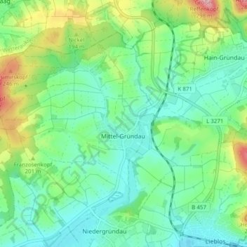
Name: Mittel-Gründau topographic map, elevation, terrain.
Location: Mittel-Gründau, Gründau, Main-Kinzig-Kreis, Hessen, Deutschland (50.21301 9.06487 50.24906 9.14100)
Average elevation: 568 ft
Minimum elevation: 420 ft
Maximum elevation: 932 ft