
Naala topographic map
Interactive map
Click on the map to display elevation.
About this map
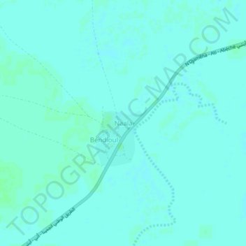
Name: Naala topographic map, elevation, terrain.
Location: Naala, Hadjer-Lamis, Tchad (12.44697 15.23869 12.48697 15.27869)
Average elevation: 955 ft
Minimum elevation: 948 ft
Maximum elevation: 965 ft