
Stekene topographic map
Interactive map
Click on the map to display elevation.
About this map
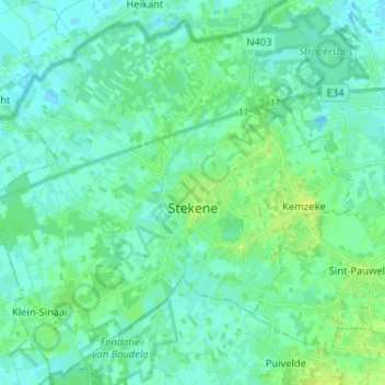
Name: Stekene topographic map, elevation, terrain.
Location: Stekene, Flandre orientale, Flandre, 9190, Belgique (51.16885 3.97082 51.24994 4.09351)
Average elevation: 13 ft
Minimum elevation: -16 ft
Maximum elevation: 43 ft