
Casuarina Beach topographic map
Interactive map
Click on the map to display elevation.
About this map
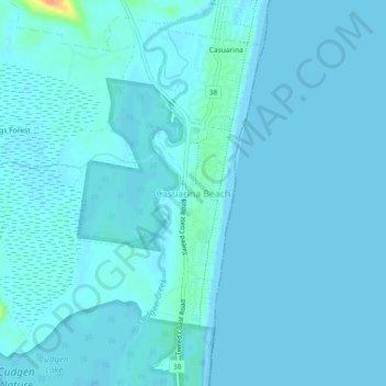
Name: Casuarina Beach topographic map, elevation, terrain.
Location: Casuarina Beach, Tweed Shire Council, 2488, Australia (-28.32379 153.55001 -28.28379 153.59001)
Average elevation: 10 ft
Minimum elevation: -7 ft
Maximum elevation: 138 ft
Other topographic maps
Click on a map to view its topography, its elevation and its terrain.
Cudgen Nature Reserve
Cudgen Nature Reserve, 38, Casuarina, Casuarina Beach, Tweed Shire Council, 2487, Australia
Average elevation: 46 ft