
Attat topographic map
Interactive map
Click on the map to display elevation.
About this map
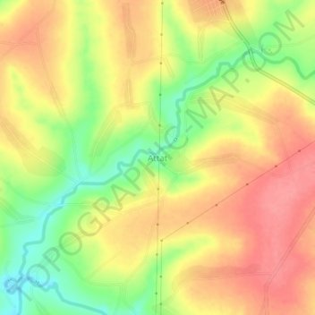
Name: Attat topographic map, elevation, terrain.
Location: Attat, Guraghe, Südliche Nationen, Äthiopien (8.15621 37.76657 8.19621 37.80657)
Average elevation: 6,260 ft
Minimum elevation: 6,106 ft
Maximum elevation: 6,368 ft