
Refugio Vega de Ario (Refugio del Marqués de Villaviciosa) topographic map
Interactive map
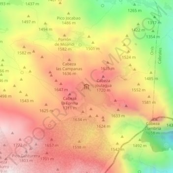
Click on the map to display elevation.
About this map
Name: Refugio Vega de Ario (Refugio del Marqués de Villaviciosa) topographic map, elevation, terrain.
Average elevation: 4,987 ft
Minimum elevation: 3,445 ft
Maximum elevation: 6,089 ft