
Alpen topographic map
Interactive map
Click on the map to display elevation.
About this map
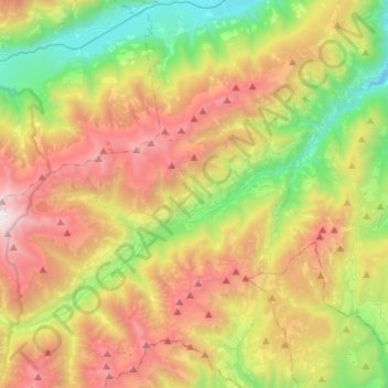
Name: Alpen topographic map, elevation, terrain.
Location: Alpen, Ultental, Bellagio, Como, Lombardei, 39016, Italien (46.49113 10.86659 46.61846 11.13965)
Average elevation: 5,344 ft
Minimum elevation: 1,591 ft
Maximum elevation: 10,456 ft
Other topographic maps
Click on a map to view its topography, its elevation and its terrain.