
Coblence topographic map
Interactive map
Click on the map to display elevation.
About this map
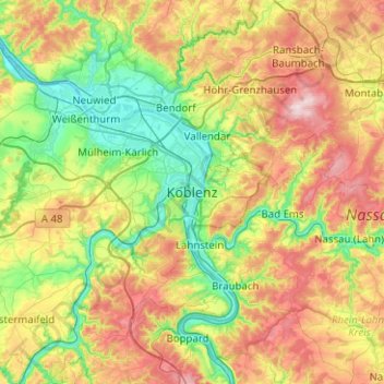
Name: Coblence topographic map, elevation, terrain.
Location: Coblence, Rhénanie-Palatinat, 56068, Allemagne (50.19333 7.43440 50.51333 7.75440)
Average elevation: 787 ft
Minimum elevation: 174 ft
Maximum elevation: 1,837 ft