
Llamera topographic map
Interactive map
Click on the map to display elevation.
About this map
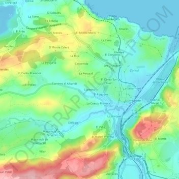
Name: Llamera topographic map, elevation, terrain.
Location: Llamera, Carreño, Asturias, 33691, España (43.53668 -5.75798 43.57668 -5.71798)
Average elevation: 187 ft
Minimum elevation: -43 ft
Maximum elevation: 591 ft