
陵水河 topographic map
Interactive map
Click on the map to display elevation.
About this map
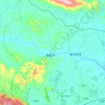
Name: 陵水河 topographic map, elevation, terrain.
Location: 陵水河, 陵水黎族自治县, 海南省, 中国 (18.56529 109.79208 18.61121 109.95370)
Average elevation: 315 ft
Minimum elevation: 20 ft
Maximum elevation: 1,929 ft