
下閉伊郡 topographic map
Interactive map
Click on the map to display elevation.
About this map
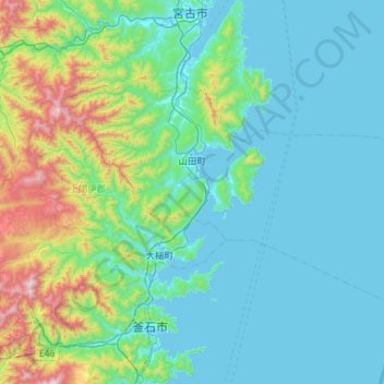
Name: 下閉伊郡 topographic map, elevation, terrain.
Location: 山田町, 下閉伊郡, Prefectura de Iwate, 東北地方, 0281371, Japón (39.29855 141.74808 39.56353 142.32413)
Average elevation: 692 ft
Minimum elevation: -3 ft
Maximum elevation: 4,239 ft
Other topographic maps
Click on a map to view its topography, its elevation and its terrain.