
Guamuchilar topographic map
Interactive map
Click on the map to display elevation.
About this map
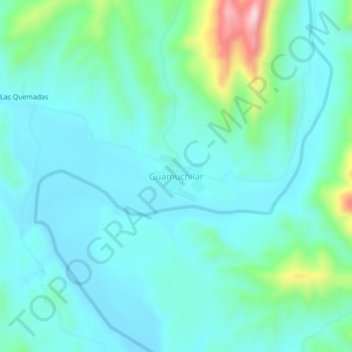
Name: Guamuchilar topographic map, elevation, terrain.
Location: Guamuchilar, Huajicori, Nayarit, 63490, México (22.76392 -105.35474 22.80392 -105.31474)
Average elevation: 482 ft
Minimum elevation: 285 ft
Maximum elevation: 1,345 ft