
Strijen topographic map
Interactive map
Click on the map to display elevation.
About this map
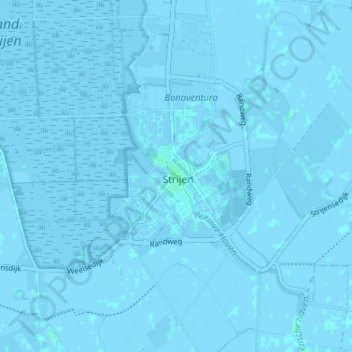
Name: Strijen topographic map, elevation, terrain.
Location: Strijen, Zuid-Holland, Nederland, 3291, Nederland (51.72308 4.53368 51.76308 4.57368)
Average elevation: -3 ft
Minimum elevation: -13 ft
Maximum elevation: 13 ft