
Quinton topographic map
Interactive map
Click on the map to display elevation.
About this map
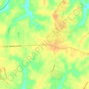
Name: Quinton topographic map, elevation, terrain.
Location: Quinton, New Kent County, Virginia, 23141, United States (37.51375 -77.14108 37.55375 -77.10108)
Average elevation: 128 ft
Minimum elevation: 52 ft
Maximum elevation: 177 ft