
Lac Dufresne topographic map
Interactive map
Click on the map to display elevation.
About this map
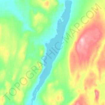
Name: Lac Dufresne topographic map, elevation, terrain.
Average elevation: 2,215 ft
Minimum elevation: 1,906 ft
Maximum elevation: 2,710 ft
Other topographic maps
Click on a map to view its topography, its elevation and its terrain.
Petite rivière au Bouleau
Canada > Québec > Sept-Rivières > Rivière-Nipissis
Petite rivière au Bouleau, Rivière-Nipissis, Sept-Rivières, Côte-Nord, Québec, Canada
Average elevation: 1,578 ft