
Lore Lindu National Park topographic map
Interactive map
Click on the map to display elevation.
About this map
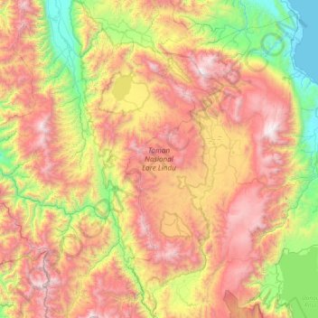
Name: Lore Lindu National Park topographic map, elevation, terrain.
Average elevation: 3,688 ft
Minimum elevation: 0 ft
Maximum elevation: 8,258 ft