
Totoya Island topographic map
Interactive map
Click on the map to display elevation.
About this map
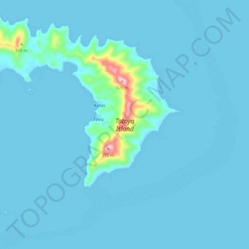
Name: Totoya Island topographic map, elevation, terrain.
Location: Totoya Island, Tovu, Lau, Eastern, Fiji (-19.00188 -179.88609 -18.91621 -179.78801)
Average elevation: 62 ft
Minimum elevation: 0 ft
Maximum elevation: 1,135 ft