
Red Rock State Park topographic map
Interactive map
Click on the map to display elevation.
About this map
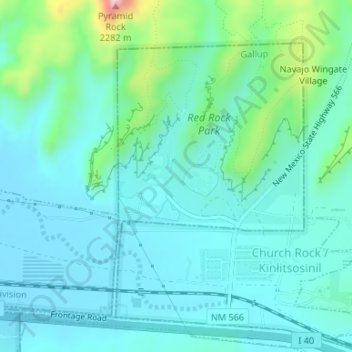
Name: Red Rock State Park topographic map, elevation, terrain.
Average elevation: 6,759 ft
Minimum elevation: 6,608 ft
Maximum elevation: 7,415 ft