
Bhiknoor topographic map
Interactive map
Click on the map to display elevation.
About this map
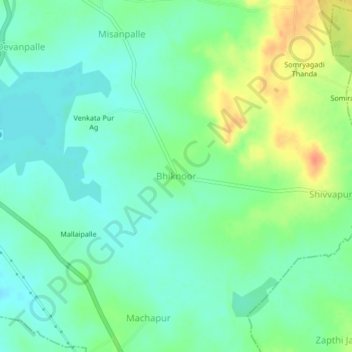
Name: Bhiknoor topographic map, elevation, terrain.
Average elevation: 1,467 ft
Minimum elevation: 1,414 ft
Maximum elevation: 1,562 ft
Other topographic maps
Click on a map to view its topography, its elevation and its terrain.
Yellareddi
India > Telangana > Yellareddy mandal > Yellareddi
Yellareddi, Yellareddy mandal, Kamareddy, Telangana, 503122, India
Average elevation: 1,427 ft