
South Wallins topographic map
Interactive map
Click on the map to display elevation.
About this map
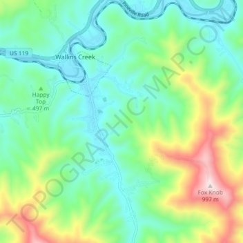
Name: South Wallins topographic map, elevation, terrain.
Location: South Wallins, Harlan County, Kentucky, 40873, United States (36.78676 -83.43154 36.84463 -83.37739)
Average elevation: 1,732 ft
Minimum elevation: 1,109 ft
Maximum elevation: 3,291 ft