Pasargad topographic map
Interactive map
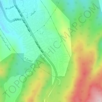
Click on the map to display elevation.
About this map
Name: Pasargad topographic map, elevation, terrain.
Average elevation: 1,158 ft
Minimum elevation: 764 ft
Maximum elevation: 1,880 ft

Click on the map to display elevation.
Name: Pasargad topographic map, elevation, terrain.
Average elevation: 1,158 ft
Minimum elevation: 764 ft
Maximum elevation: 1,880 ft