
Nhà bia Liệt sĩ xã Tân Đông topographic map
Interactive map
Click on the map to display elevation.
About this map
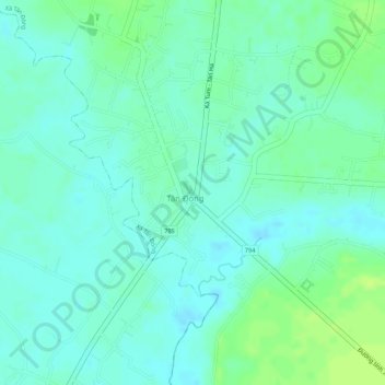
Name: Nhà bia Liệt sĩ xã Tân Đông topographic map, elevation, terrain.
Average elevation: 131 ft
Minimum elevation: 108 ft
Maximum elevation: 164 ft