
小纪汗镇 topographic map
Interactive map
Click on the map to display elevation.
About this map
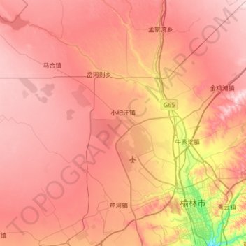
Name: 小纪汗镇 topographic map, elevation, terrain.
Location: 小纪汗镇, 榆阳区, 榆林市, 陕西省, 中国 (38.28657 109.14202 38.55816 109.68608)
Average elevation: 3,921 ft
Minimum elevation: 3,284 ft
Maximum elevation: 4,295 ft
Other topographic maps
Click on a map to view its topography, its elevation and its terrain.