
Beni Chougrane topographic map
Interactive map
Click on the map to display elevation.
About this map
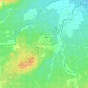
Name: Beni Chougrane topographic map, elevation, terrain.
Location: Beni Chougrane, Daïra Mouzaia, Blida, RADP (36.53859 2.69565 36.57859 2.73565)
Average elevation: 131 ft
Minimum elevation: 92 ft
Maximum elevation: 190 ft